The neighborhood
Artavia & Conroe, Texas
This is the community around 15500 Leopard Lily Ln: a master-planned neighborhood in southern Conroe where the trees stayed, the amenities are real, and Houston is close enough to matter and far enough to forget.
Live colorfully
A master plan that kept the trees
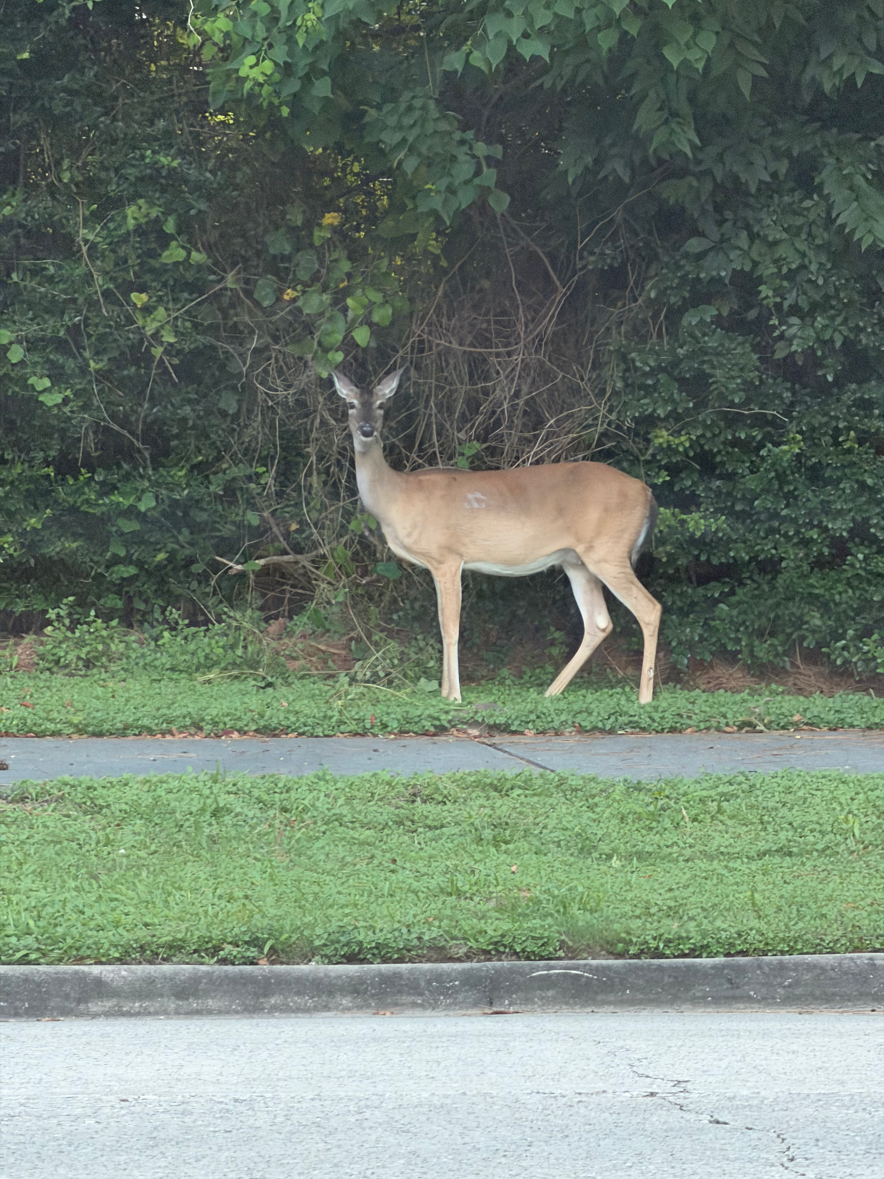
Artavia is the kind of planned community that starts with what is already there: pines, lakes, and quiet streets laid out off SH 242, between I-45 and US 59, north of the Grand Parkway. The developer's tagline is "Live Colorfully," and it shows in the art installations, the amenity lakes, and the trails that thread through the trees.
For a listing like 15500 Leopard Lily Ln, location deepens the value: a cul-de-sac lot inside a community designed around walking, with the Dapple Gray amenity center as the heart.
Artavia's official siteDapple Gray lake
A five-acre lake with kayak and paddleboat access right inside Artavia
Resort-style pool
A swimming pool and splash pad at the amenity center for residents
Clubhouse & fitness
A 24/7 fitness center and the Palate Cafe a short walk from the house
Trails & playgrounds
Forested walking paths, Dabble Park playgrounds, and the community signature art
Conroe ISD
Schools with a campus coming to the neighborhood
Artavia is zoned through the Caney Creek feeder pattern of Conroe ISD, and the district closed on land inside the community in 2023 for a future on-site campus. Until it opens, students follow this path:
Zoning and feeder patterns change; confirm current assignments with Conroe ISD before relying on them.
Elementary
San Jacinto Elementary School
The Conroe ISD campus receiving much of the growth from Artavia
Intermediate
Grangerland Intermediate School
The next step in the Caney Creek feeder pattern
Junior high
Moorhead Junior High School
A new Caney Creek-feeder campus that opened for the 2025-26 school year
High school
Caney Creek High School
The home high school for the feeder
Getting around
Close to Houston. Quick to the airport.
The house sits at the southern edge of Conroe, minutes from SH 242 and I-45. Drive times are typical estimates at normal traffic and vary with the hour and the route you choose.
Downtown Houston
45-60 min
About 40 miles south on I-45. Peak traffic can stretch the drive to 75-90 minutes.
Bush Intercontinental (IAH)
35-40 min
About 30 miles, with the Hardy Toll Road as a faster toll route.
Conroe Park & Ride
~42 min
Bus service to Milam St at Congress St in downtown Houston.
Outdoor life
A state forest ten minutes away
W.G. Jones State Forest, operated by the Texas A&M Forest Service, sits about 10 minutes from the house along FM 1488. Its roughly 1,733 acres hold nearly 17 miles of multi-use trails for hiking, mountain biking, and horses, plus the one-mile Sweetleaf Nature Trail with its swinging bridge. Entry is free and parking is easy.
Closer still are Artavia's own trails and the calm stretches of water around the community. For a quiet morning ride or an afternoon walk, you are spoiled for choices.
Fuel stops
Where to eat before or after the tour
Texan diner
The Whistle Stop Cafe
A local diner right off the highway serving breakfast and lunch plates that lean Texas-sized. A favorite stop before or after tours.
11133 Interstate 45 S, Conroe, TX 77302
(936) 828-4652
Bubble tea & coffee
Vogue Bubble Tea & Coffee Bar
Cold brews, milk teas, and bubble tea a few minutes away, tucked in the same I-45 retail strip.
11133 Interstate 45 S, Suite 240, Conroe, TX 77302
Nearby businesses are shown for convenience; hours and menus change, so call ahead.
Come walk the trails and see the house
The best way to judge the neighborhood is from the walking path itself. Book a tour and let Diane show you both.
Sources: Artavia community information at artaviatx.com, Conroe ISD announcements via Community Impact, Texas A&M Forest Service for W.G. Jones State Forest, and typical drive-time estimates from public travel tools. Facts were accurate at the time of writing (September 2026); verify before relying on them.